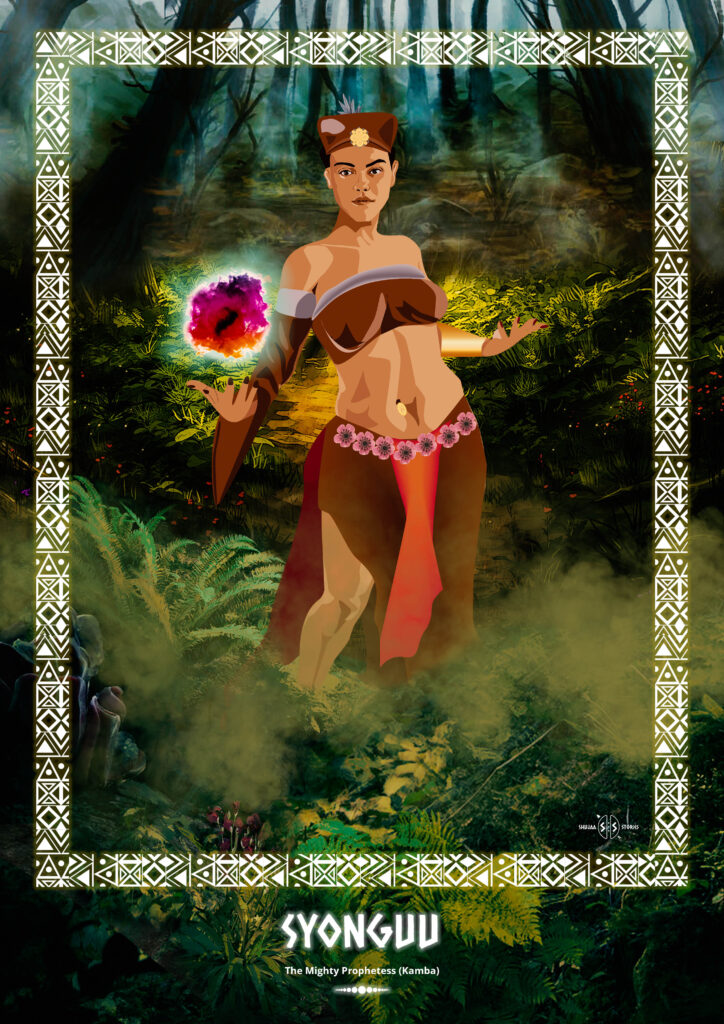
The Mighty Prophetess (Kamba
Syonguu wa Kathukya was born in Kamba land, near Athi River, in the 1800s. Not much is known about her but the little that has been passed down through history is amazing.
Like other notable leaders of her time such as the great prophetess and medicine woman, Syokimau, Syonguu was respected for being able to foresee the future, thus helping her people at lest to prepare for adversity. Such a challenge was presented by the arrival of British traders around 1885 which had a drastic and devastating effect on the Kamba people.
The entire Kamba territory fell under the British protectorate and the Kamba lost their independence. The British occupied Kambaland and built a fort in Masaku, or Machakos.The British subjected heavy taxation on the Kamba in order to raise revenue for the colonial administration. This destabilized the Kambas’ prominence as middlemen on the long distance trade routes into the interior of what was to become independent Kenya.
There was massive confiscation of Kamba land to pave the way for white settlement. Many Kamba warriors lost their lives during confrontations with British soldiers who went on to forcefully recruit Kmba men into the King’s African Rifles to fight in the First World War, between 1914 and 1918. For Prophetess Syonguu, a milestone event occurred in 1890.
While the atrocities continued the British went as far as raping Kamba women and cutting down a large Ithembo, a sacred tree to the Kamba, to use as a flagpole at Masaku Fort. This was an affront to Kamba culture and Syonguu refused to take it! She ordered Iveti warriors to attack the Fort.
However, her army was considerably weakened after the capture and surrender of Nzibu Mweu and Mwana wa Muka who had also presented formidable opposition to the British and she was forced to abandon the struggle.
Despite that, Syonguu wa Kathukya, will always be remembered for her qualities as a seer and a woman resistance leader.
Bonus Information
Kamba Land or Ukambani is divided into three administrative county regions namely, Machakos, Makueni and Kitui counties, stretching east of Nairobi along the Mombasa-Nairobi highway, over Athi River, towards Tsavo National park and North East to Embu. It is widely perceived as a region regularly haunted by long drought seasons. Far from this notion, there are green and fertile stretches which make up for a wonderful excursion. Machakos for example, which was actually Kenya’s second inland capital, after Voi, in 1908, is surrounded by green hills. The Makongo Valley, right behind the town, also offers a spectacular drive through scenic undulating hills covered by forests and terraces. No wonder Ukambani
Bonus InformationKamba Land or Ukambani is divided into three administrative county regions namely, Machakos, Makueni and Kitui counties, stretching east of Nairobi along the Mombasa-Nairobi highway, over Athi River, towards Tsavo National park and North East to Embu. It is widely perceived as a region regularly haunted by long drought seasons. Far from this notion, there are green and fertile stretches which make up for a wonderful excursion. Machakos for example, which was actually Kenya’s second inland capital, after Voi, in 1908, is surrounded by green hills. The Makongo Valley, right behind the town, also offers a spectacular drive through scenic undulating hills covered by forests and terraces. No wonder Ukambani